About GIS
Geospatial Science is the science of where! GIS is a spatial system that creates, manages, analyzes, and maps all types of data. GIS helps us understand patterns, relationships, and their geographic context (esri), enabling data-informed decision making regarding the current state and future of our planet.
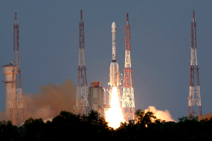
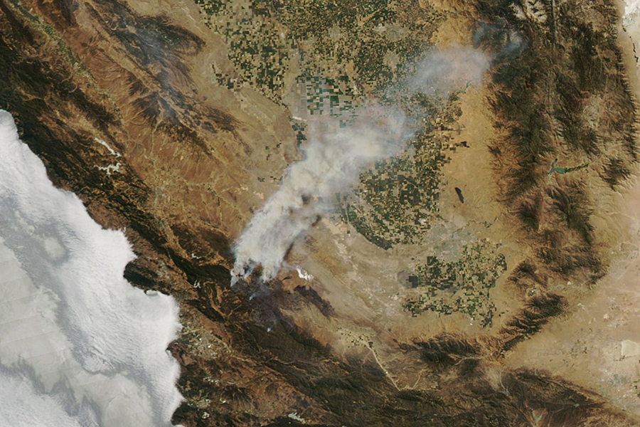
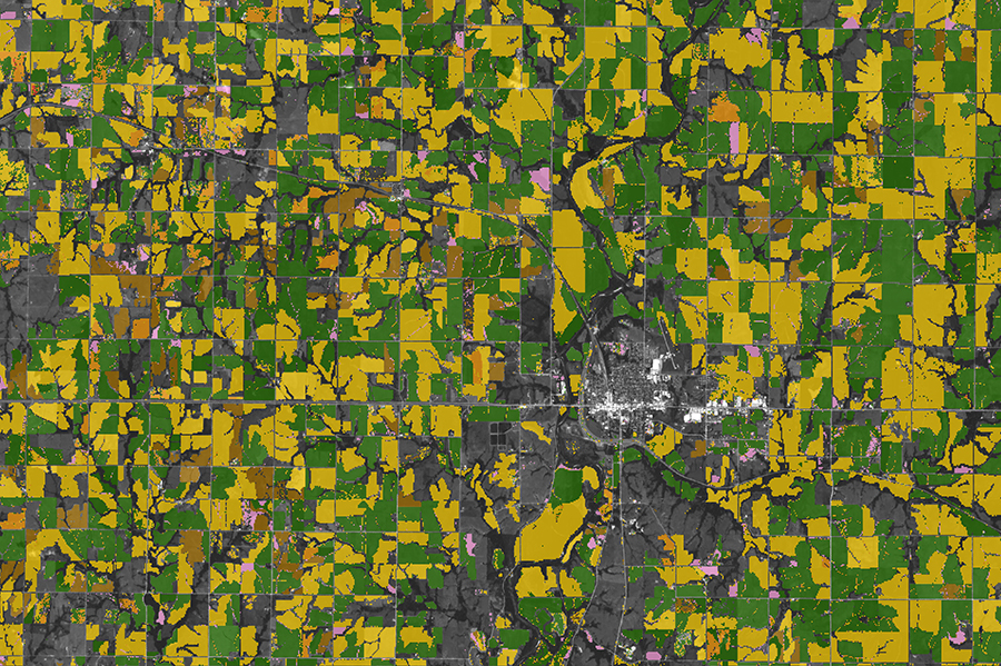
Our courses use ArcGIS and open source software to analyze data collected by systems such as satellite technology, aerial photography and drone-acquired data. Observations are made using remote instruments that detect reflected or emitted energy. Think light and energy!
Faculty
Department Chair:
Tiffany Pawluk

Counselors
Daniel Aguilar
Samantha Zaldivar
Counselor STEM, Counseling lead for Math and Science Area of Interest


